
白仁村 topographic map
Interactive map
Click on the map to display elevation.
About this map
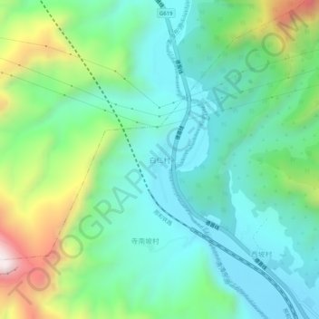
Name: 白仁村 topographic map, elevation, terrain.
Location: 白仁村, 晋中市, 山西省, 中国 (37.19804 113.65325 37.23804 113.69325)
Average elevation: 4,511 ft
Minimum elevation: 3,717 ft
Maximum elevation: 6,621 ft
Other topographic maps
Click on a map to view its topography, its elevation and its terrain.