
凤台村 topographic map
Interactive map
Click on the map to display elevation.
About this map
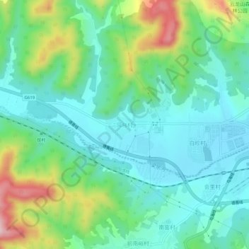
Name: 凤台村 topographic map, elevation, terrain.
Location: 凤台村, 晋中市, 山西省, 中国 (37.29972 113.50433 37.33972 113.54433)
Average elevation: 4,419 ft
Minimum elevation: 4,150 ft
Maximum elevation: 5,128 ft
Other topographic maps
Click on a map to view its topography, its elevation and its terrain.