
介休市 topographic map
Interactive map
Click on the map to display elevation.
About this map
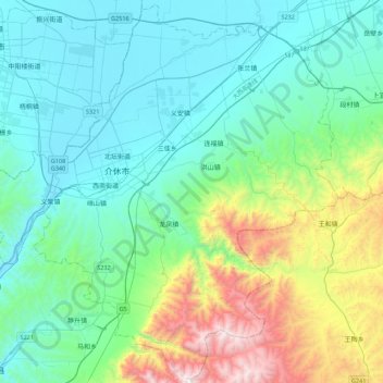
Name: 介休市 topographic map, elevation, terrain.
Location: 介休市, 晋中市, 山西省, 中国 (36.83943 111.72953 37.18314 112.16959)
Average elevation: 3,563 ft
Minimum elevation: 2,365 ft
Maximum elevation: 8,038 ft
Other topographic maps
Click on a map to view its topography, its elevation and its terrain.