
Wardville topographic map
Click on the map to display elevation.
About this map
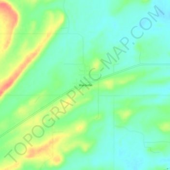
Name: Wardville topographic map, elevation, terrain.
Location: Wardville, Atoka County, Oklahoma, 74576, United States (34.63371 -96.05027 34.67371 -96.01027)
Average elevation: 689 ft
Minimum elevation: 627 ft
Maximum elevation: 801 ft
Atoka County trails, hiking, mountain biking, running and outdoor activities
Other topographic maps
Click on a map to view its topography, its elevation and its terrain.