Geolocate

Stringtown topographic map

Click on the map to display elevation.

About this map

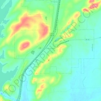
Name: Stringtown topographic map, elevation, terrain.

Location: Stringtown, Atoka County, Oklahoma, United States (34.44076 -96.07739 34.49051 -96.02731)

Average elevation: 646 ft

Minimum elevation: 531 ft

Maximum elevation: 902 ft

Atoka County trails, hiking, mountain biking, running and outdoor activities

Other topographic maps

Click on a map to view its topography, its elevation and its terrain.

Wesley

United States > Oklahoma > Atoka County

Average elevation: 820 ft

Limestone Gap

United States > Oklahoma > Atoka County

Average elevation: 761 ft

Hopewell

United States > Oklahoma > Atoka County

Average elevation: 719 ft

Farris

United States > Oklahoma > Atoka County

Average elevation: 535 ft

Chockie

United States > Oklahoma > Atoka County

Average elevation: 725 ft

Daisy

United States > Oklahoma > Atoka County

Average elevation: 823 ft

Wardville

United States > Oklahoma > Atoka County

Average elevation: 689 ft

Bentley

United States > Oklahoma > Atoka County

Average elevation: 541 ft

Redden

United States > Oklahoma > Atoka County

Average elevation: 722 ft

Gear up for your next adventure:

📦Gear Storage Bags - Organize and protect outdoor equipment
🔊Portable Camp Speaker - Music and alerts at camp
📷Action Camera - Capture your outdoor adventures in HD
🧣Hiking Neck Gaiter - Multi‑use neck protection for outdoor weather
🧼Biodegradable Camping Soap - Eco‑friendly soap for outdoor hygiene

As an Amazon Associate, this site earns from qualifying purchases at no extra cost to you.