
Caba topographic map
Click on the map to display elevation.
About this map
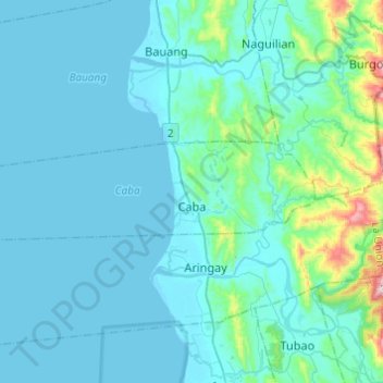
Name: Caba topographic map, elevation, terrain.
Location: Caba, La Union, Ilocos Region, 2502, Philippines (16.41030 120.18076 16.47159 120.42388)
Average elevation: 200 ft
Minimum elevation: -7 ft
Maximum elevation: 2,001 ft
Other topographic maps
Click on a map to view its topography, its elevation and its terrain.