Welty topographic map
Interactive map
Click on the map to display elevation.
About this map
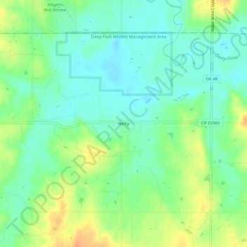
Name: Welty topographic map, elevation, terrain.
Location: Welty, Okfuskee County, Oklahoma, United States (35.60452 -96.42529 35.64452 -96.38529)
Average elevation: 745 ft
Minimum elevation: 696 ft
Maximum elevation: 823 ft
Other topographic maps
Click on a map to view its topography, its elevation and its terrain.
Paden
United States > Oklahoma > Okfuskee County
Paden, Okfuskee County, Oklahoma, United States
Average elevation: 978 ft
Boley
United States > Oklahoma > Okfuskee County
Boley, Okfuskee County, Oklahoma, 74829, United States
Average elevation: 896 ft
Clearview
United States > Oklahoma > Okfuskee County
Clearview, Okfuskee County, Oklahoma, United States
Average elevation: 823 ft
Okemah
United States > Oklahoma > Okfuskee County
Okemah, Okfuskee County, Oklahoma, 74859, United States
Average elevation: 869 ft
Bearden
United States > Oklahoma > Okfuskee County
Bearden, Okfuskee County, Oklahoma, United States
Average elevation: 863 ft