
Tayug topographic map
Click on the map to display elevation.
About this map
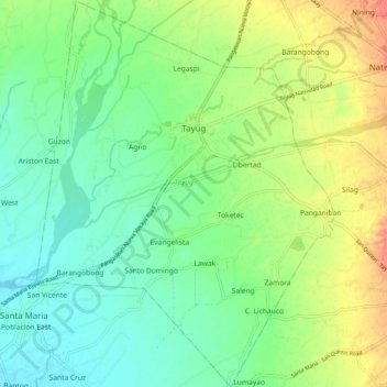
Name: Tayug topographic map, elevation, terrain.
Location: Tayug, Pangasinan, Ilocos Region, 2445, Philippines (15.96313 120.70340 16.05918 120.78073)
Average elevation: 200 ft
Minimum elevation: 131 ft
Maximum elevation: 315 ft
Other topographic maps
Click on a map to view its topography, its elevation and its terrain.