
西北 topographic map
Interactive map
Click on the map to display elevation.
About this map
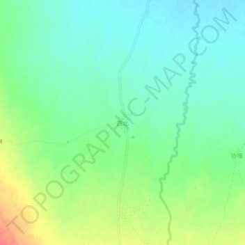
Name: 西北 topographic map, elevation, terrain.
Location: 西北, 定日县, 日喀则市, 西藏自治区, 中国 (28.53345 86.55144 28.57345 86.59144)
Average elevation: 14,262 ft
Minimum elevation: 14,203 ft
Maximum elevation: 14,373 ft
Other topographic maps
Click on a map to view its topography, its elevation and its terrain.