
Alle topographic map
Click on the map to display elevation.
About this map
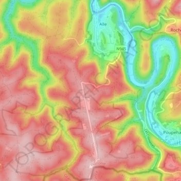
Name: Alle topographic map, elevation, terrain.
Location: Alle, Vresse-sur-Semois, Dinant, Namur, Wallonia, Belgium (49.79782 4.94245 49.84891 4.99057)
Average elevation: 1,007 ft
Minimum elevation: 604 ft
Maximum elevation: 1,306 ft
Other topographic maps
Click on a map to view its topography, its elevation and its terrain.