
结则茶卡 topographic map
Interactive map
Click on the map to display elevation.
About this map
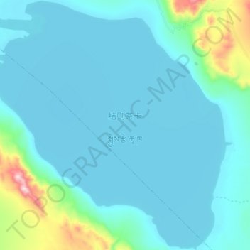
Name: 结则茶卡 topographic map, elevation, terrain.
Location: 结则茶卡, 东汝, 日土县, 阿里地区, 西藏自治区, 中国 (33.88589 80.82937 34.01087 80.97452)
Average elevation: 15,092 ft
Minimum elevation: 14,839 ft
Maximum elevation: 17,070 ft
Other topographic maps
Click on a map to view its topography, its elevation and its terrain.