
Whitehorse, Unorganized topographic map
Interactive map
Click on the map to display elevation.
About this map
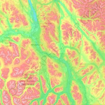
Name: Whitehorse, Unorganized topographic map, elevation, terrain.
Location: Whitehorse, Unorganized, Yukon, Canada (60.00029 -135.94105 61.24903 -134.20560)
Average elevation: 3,694 ft
Minimum elevation: 1,900 ft
Maximum elevation: 7,848 ft
Other topographic maps
Click on a map to view its topography, its elevation and its terrain.