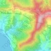
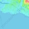
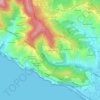
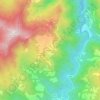
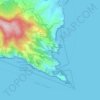
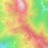
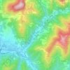
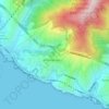
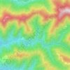
Ne topographic map
Click on the map to display elevation.
Ne
Ne stands for Nae, meaning "ship", and refers to the shape of Monte Zatta, the highest mountain of the area at an elevation of 1,404 metres (4,606 ft). It adjoins the valley of Graveglia, the ancient realm of Garibald, the king of the Lombards who fled from Lombardy in 673.
About this map

Name: Ne topographic map, elevation, terrain.
Location: Ne, Genoa, Liguria, Italy (44.31377 9.37366 44.40189 9.51776)
Average elevation: 1,798 ft
Minimum elevation: 66 ft
Maximum elevation: 4,544 ft
Other topographic maps
Click on a map to view its topography, its elevation and its terrain.