
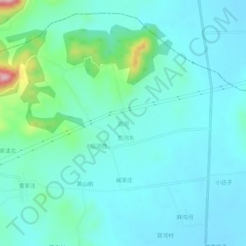
后河 topographic map
Interactive map
Click on the map to display elevation.
About this map
Name: 后河 topographic map, elevation, terrain.
Location: 后河, 青岛市, 山东省, 中国 (35.69194 119.52579 35.73194 119.56579)
Average elevation: 233 ft
Minimum elevation: 102 ft
Maximum elevation: 892 ft
Other topographic maps
Click on a map to view its topography, its elevation and its terrain.