
灵山卫街道 topographic map
Interactive map
Click on the map to display elevation.
About this map
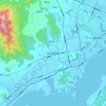
Name: 灵山卫街道 topographic map, elevation, terrain.
Location: 灵山卫街道, 青岛市, 山东省, 266580, 中国 (35.90041 120.09651 35.98041 120.17651)
Average elevation: 213 ft
Minimum elevation: -7 ft
Maximum elevation: 2,264 ft
Other topographic maps
Click on a map to view its topography, its elevation and its terrain.