
辛安街道 topographic map
Interactive map
Click on the map to display elevation.
About this map
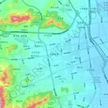
Name: 辛安街道 topographic map, elevation, terrain.
Location: 辛安街道, 青岛市, 山东省, 266590, 中国 (35.97895 120.09387 36.05895 120.17387)
Average elevation: 167 ft
Minimum elevation: -7 ft
Maximum elevation: 1,063 ft
Other topographic maps
Click on a map to view its topography, its elevation and its terrain.