
潮连岛 topographic map
Interactive map
Click on the map to display elevation.
About this map
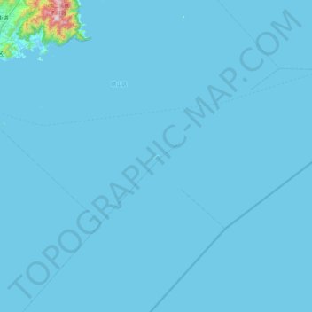
Name: 潮连岛 topographic map, elevation, terrain.
Location: 潮连岛, 青岛市, 山东省, 中国 (35.57379 120.55738 36.21379 121.19738)
Average elevation: 39 ft
Minimum elevation: -3 ft
Maximum elevation: 3,451 ft
Other topographic maps
Click on a map to view its topography, its elevation and its terrain.