
琅琊镇 topographic map
Interactive map
Click on the map to display elevation.
About this map
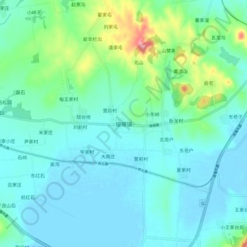
Name: 琅琊镇 topographic map, elevation, terrain.
Location: 琅琊镇, 青岛市, 山东省, 中国 (35.64918 119.81029 35.72918 119.89029)
Average elevation: 92 ft
Minimum elevation: -7 ft
Maximum elevation: 499 ft
Other topographic maps
Click on a map to view its topography, its elevation and its terrain.