
达孜区 topographic map
Interactive map
Click on the map to display elevation.
About this map
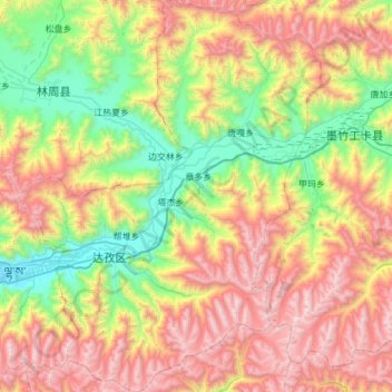
Name: 达孜区 topographic map, elevation, terrain.
Location: 达孜区, 拉萨市, 西藏自治区, 中国 (29.48868 91.20571 30.01775 91.67919)
Average elevation: 14,708 ft
Minimum elevation: 12,005 ft
Maximum elevation: 18,704 ft
Other topographic maps
Click on a map to view its topography, its elevation and its terrain.