
曲水县 topographic map
Interactive map
Click on the map to display elevation.
About this map
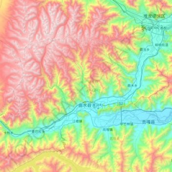
Name: 曲水县 topographic map, elevation, terrain.
Location: 曲水县, 拉萨市, 西藏自治区, 中国 (29.24065 90.36293 29.60142 91.06113)
Average elevation: 14,810 ft
Minimum elevation: 11,680 ft
Maximum elevation: 19,406 ft
Other topographic maps
Click on a map to view its topography, its elevation and its terrain.