Geolocate

Cool topographic map

Click on the map to display elevation.

About this map

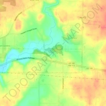
Name: Cool topographic map, elevation, terrain.

Location: Cool, Parker County, Texas, United States (32.79586 -98.03591 32.81071 -97.98819)

Average elevation: 932 ft

Minimum elevation: 820 ft

Maximum elevation: 1,020 ft

Parker County trails, hiking, mountain biking, running and outdoor activities

Other topographic maps

Click on a map to view its topography, its elevation and its terrain.

Dicey

United States > Texas > Parker County

Average elevation: 971 ft

Center Point

United States > Texas > Parker County

Average elevation: 961 ft

Brock

United States > Texas > Parker County

Average elevation: 866 ft

Preble

United States > Texas > Parker County > Preble

Average elevation: 988 ft

Campbell Island

United States > Texas > Parker County

Average elevation: 935 ft

Central Park ~ Azle

United States > Texas > Parker County > Azle

Average elevation: 732 ft

Weatherford

United States > Texas > Parker County

Average elevation: 1,089 ft

Agnes

United States > Texas > Parker County

Average elevation: 1,152 ft

Carter

United States > Texas > Parker County

Average elevation: 1,102 ft

Weatherford

United States > Texas > Parker County

Average elevation: 1,070 ft

Gear up for your next adventure:

📖Nature Tracking Books - Learn to track wildlife and terrain
🪶Trail Camera - Capture wildlife on your hikes
🛠️Outdoor Gear Repair Kit - Essential tools to fix gear on the trail
🦶Carbon Trekking Poles - Reduce knee impact on steep descents with ultra-light poles
🥤Water Filter Bottle - All‑in‑one filter bottle for safe hydration

As an Amazon Associate, this site earns from qualifying purchases at no extra cost to you.