
下念头村 topographic map
Interactive map
Click on the map to display elevation.
About this map
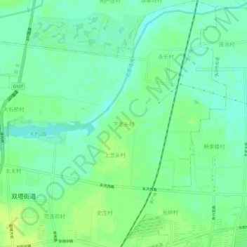
Name: 下念头村 topographic map, elevation, terrain.
Location: 下念头村, 保定市, 河北省, 072750, 中国 (39.49227 115.96829 39.53227 116.00829)
Average elevation: 112 ft
Minimum elevation: 85 ft
Maximum elevation: 135 ft
Other topographic maps
Click on a map to view its topography, its elevation and its terrain.