
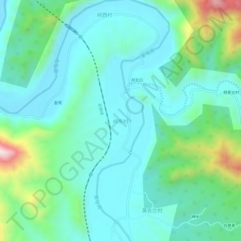
岭东村 topographic map
Interactive map
Click on the map to display elevation.
About this map
Name: 岭东村 topographic map, elevation, terrain.
Location: 岭东村, 保定市, 河北省, 中国 (39.56042 115.24447 39.60042 115.28447)
Average elevation: 1,680 ft
Minimum elevation: 1,283 ft
Maximum elevation: 3,133 ft
Other topographic maps
Click on a map to view its topography, its elevation and its terrain.