
屯头村 topographic map
Interactive map
Click on the map to display elevation.
About this map
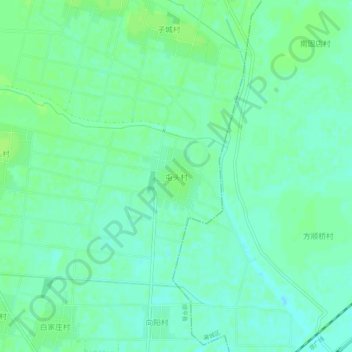
Name: 屯头村 topographic map, elevation, terrain.
Location: 屯头村, 保定市, 河北省, 072251, 中国 (38.76483 115.20671 38.80483 115.24671)
Average elevation: 125 ft
Minimum elevation: 105 ft
Maximum elevation: 138 ft
Other topographic maps
Click on a map to view its topography, its elevation and its terrain.