
南芦村 topographic map
Interactive map
Click on the map to display elevation.
About this map
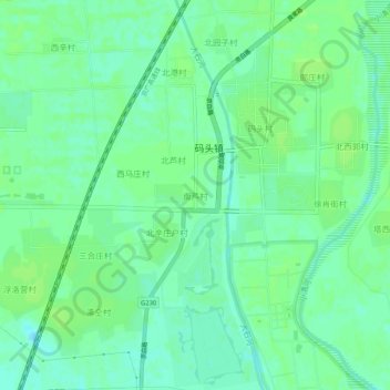
Name: 南芦村 topographic map, elevation, terrain.
Location: 南芦村, 保定市, 河北省, 中国 (39.52561 116.08471 39.56561 116.12471)
Average elevation: 102 ft
Minimum elevation: 82 ft
Maximum elevation: 112 ft
Other topographic maps
Click on a map to view its topography, its elevation and its terrain.