
斧头湖 topographic map
Interactive map
Click on the map to display elevation.
About this map
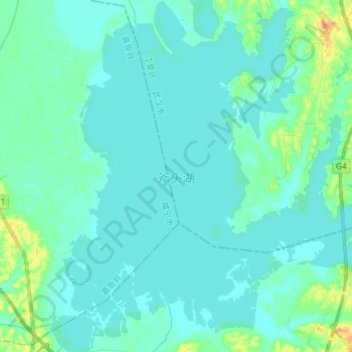
Name: 斧头湖 topographic map, elevation, terrain.
Location: 斧头湖, 武汉市, 湖北省, 中国 (29.96146 114.15675 30.08674 114.27850)
Average elevation: 66 ft
Minimum elevation: 46 ft
Maximum elevation: 171 ft
Other topographic maps
Click on a map to view its topography, its elevation and its terrain.