
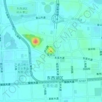
吴家山 topographic map
Interactive map
Click on the map to display elevation.
About this map
Name: 吴家山 topographic map, elevation, terrain.
Location: 吴家山, 武汉市, 湖北省, 中国 (30.62778 114.12948 30.62788 114.12958)
Average elevation: 79 ft
Minimum elevation: 56 ft
Maximum elevation: 233 ft
Other topographic maps
Click on a map to view its topography, its elevation and its terrain.