
团山 topographic map
Interactive map
Click on the map to display elevation.
About this map
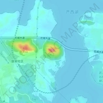
Name: 团山 topographic map, elevation, terrain.
Location: 团山, 武汉市, 湖北省, 中国 (30.55977 114.47006 30.55987 114.47016)
Average elevation: 85 ft
Minimum elevation: 56 ft
Maximum elevation: 354 ft
Other topographic maps
Click on a map to view its topography, its elevation and its terrain.