
横店街道 topographic map
Interactive map
Click on the map to display elevation.
About this map
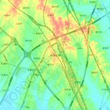
Name: 横店街道 topographic map, elevation, terrain.
Location: 横店街道, 武汉市, 湖北省, 中国 (30.76589 114.25369 30.84589 114.33369)
Average elevation: 118 ft
Minimum elevation: 56 ft
Maximum elevation: 213 ft
Other topographic maps
Click on a map to view its topography, its elevation and its terrain.