
大余湾 topographic map
Interactive map
Click on the map to display elevation.
About this map
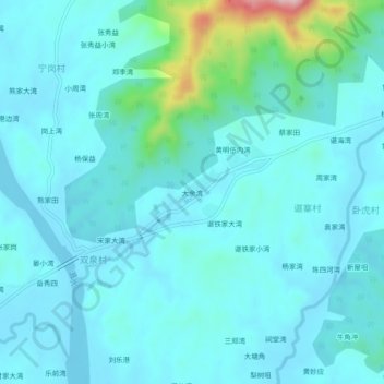
Name: 大余湾 topographic map, elevation, terrain.
Location: 大余湾, 黄陂区, 武汉市, 湖北省, 中国 (31.00957 114.34751 31.04957 114.38751)
Average elevation: 197 ft
Minimum elevation: 82 ft
Maximum elevation: 965 ft
Other topographic maps
Click on a map to view its topography, its elevation and its terrain.