
Soñeiro topographic map
Click on the map to display elevation.
About this map
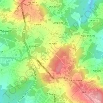
Name: Soñeiro topographic map, elevation, terrain.
Location: Soñeiro, Sada, La Coruña, Galicia, España (43.30765 -8.30297 43.33712 -8.27728)
Average elevation: 377 ft
Minimum elevation: 161 ft
Maximum elevation: 617 ft
Other topographic maps
Click on a map to view its topography, its elevation and its terrain.