
花音 topographic map
Interactive map
Click on the map to display elevation.
About this map
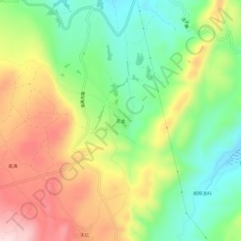
Name: 花音 topographic map, elevation, terrain.
Location: 花音, 玉龙纳西族自治县, 丽江市, 云南省, 中国 (26.73148 100.05330 26.77148 100.09330)
Average elevation: 9,587 ft
Minimum elevation: 9,114 ft
Maximum elevation: 10,200 ft
Other topographic maps
Click on a map to view its topography, its elevation and its terrain.