
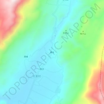
放马 topographic map
Interactive map
Click on the map to display elevation.
About this map
Name: 放马 topographic map, elevation, terrain.
Location: 放马, 玉龙纳西族自治县, 丽江市, 云南省, 中国 (26.61469 100.00840 26.65469 100.04840)
Average elevation: 8,681 ft
Minimum elevation: 8,107 ft
Maximum elevation: 10,272 ft
Other topographic maps
Click on a map to view its topography, its elevation and its terrain.