
巨甸 topographic map
Interactive map
Click on the map to display elevation.
About this map
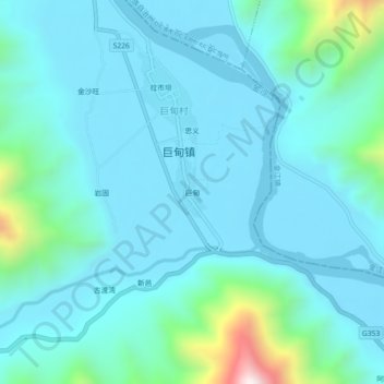
Name: 巨甸 topographic map, elevation, terrain.
Location: 巨甸, 玉龙纳西族自治县, 丽江市, 云南省, 中国 (27.27625 99.63148 27.31625 99.67148)
Average elevation: 6,490 ft
Minimum elevation: 6,099 ft
Maximum elevation: 8,894 ft
Other topographic maps
Click on a map to view its topography, its elevation and its terrain.