
大沙坝 topographic map
Interactive map
Click on the map to display elevation.
About this map
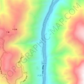
Name: 大沙坝 topographic map, elevation, terrain.
Location: 大沙坝, 泸水市, 怒江傈僳族自治州, 云南省, 中国 (25.96257 98.82046 26.00257 98.86046)
Average elevation: 4,554 ft
Minimum elevation: 2,703 ft
Maximum elevation: 6,686 ft
Other topographic maps
Click on a map to view its topography, its elevation and its terrain.