
鲁掌镇 topographic map
Interactive map
Click on the map to display elevation.
About this map
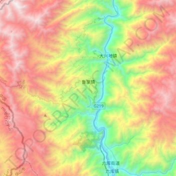
Name: 鲁掌镇 topographic map, elevation, terrain.
Location: 鲁掌镇, 泸水市, 怒江傈僳族自治州, 云南省, 中国 (25.83619 98.66033 26.10518 98.85166)
Average elevation: 7,487 ft
Minimum elevation: 2,618 ft
Maximum elevation: 13,219 ft
Other topographic maps
Click on a map to view its topography, its elevation and its terrain.