
老窝河 topographic map
Interactive map
Click on the map to display elevation.
About this map
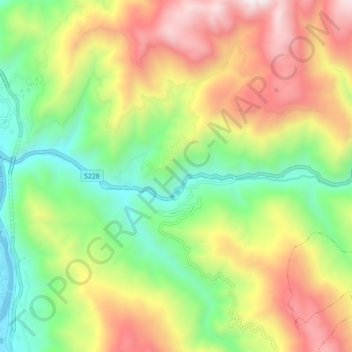
Name: 老窝河 topographic map, elevation, terrain.
Location: 老窝河, 泸水市, 怒江傈僳族自治州, 云南省, 中国 (25.83627 98.85993 25.84709 98.94854)
Average elevation: 4,944 ft
Minimum elevation: 2,602 ft
Maximum elevation: 8,068 ft
Other topographic maps
Click on a map to view its topography, its elevation and its terrain.