
洛本卓白族乡 topographic map
Interactive map
Click on the map to display elevation.
About this map
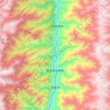
Name: 洛本卓白族乡 topographic map, elevation, terrain.
Location: 洛本卓白族乡, 泸水市, 怒江傈僳族自治州, 云南省, 中国 (26.39231 98.74202 26.53003 99.02112)
Average elevation: 8,681 ft
Minimum elevation: 3,205 ft
Maximum elevation: 13,556 ft
Other topographic maps
Click on a map to view its topography, its elevation and its terrain.