
称杆乡 topographic map
Interactive map
Click on the map to display elevation.
About this map
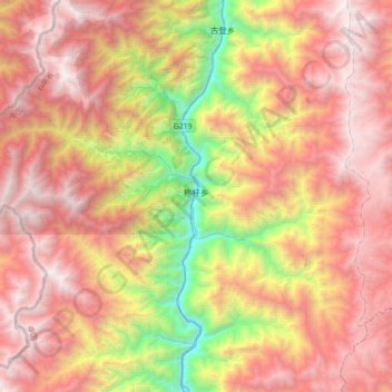
Name: 称杆乡 topographic map, elevation, terrain.
Location: 称杆乡, 泸水市, 怒江傈僳族自治州, 云南省, 中国 (26.09382 98.67215 26.41071 99.02724)
Average elevation: 8,737 ft
Minimum elevation: 2,884 ft
Maximum elevation: 13,494 ft
Other topographic maps
Click on a map to view its topography, its elevation and its terrain.