
龙门镇 topographic map
Interactive map
Click on the map to display elevation.
About this map
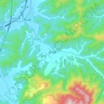
Name: 龙门镇 topographic map, elevation, terrain.
Location: 龙门镇, 杭州市, 浙江省, 中国 (29.86431 119.90454 29.94431 119.98454)
Average elevation: 679 ft
Minimum elevation: 30 ft
Maximum elevation: 3,071 ft
Other topographic maps
Click on a map to view its topography, its elevation and its terrain.