
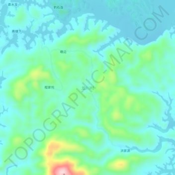
龙川村 topographic map
Interactive map
Click on the map to display elevation.
About this map
Name: 龙川村 topographic map, elevation, terrain.
Location: 龙川村, 杭州市, 浙江省, 中国 (29.42438 118.67684 29.46438 118.71684)
Average elevation: 495 ft
Minimum elevation: 305 ft
Maximum elevation: 1,257 ft
Other topographic maps
Click on a map to view its topography, its elevation and its terrain.