
龙门坎村 topographic map
Interactive map
Click on the map to display elevation.
About this map
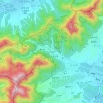
Name: 龙门坎村 topographic map, elevation, terrain.
Location: 龙门坎村, 杭州市, 浙江省, 310023, 中国 (30.17424 120.00673 30.21424 120.04673)
Average elevation: 492 ft
Minimum elevation: 66 ft
Maximum elevation: 1,440 ft
Other topographic maps
Click on a map to view its topography, its elevation and its terrain.