
放生桥港 topographic map
Interactive map
Click on the map to display elevation.
About this map
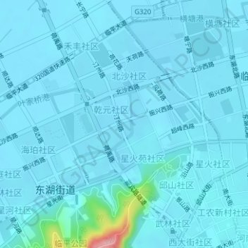
Name: 放生桥港 topographic map, elevation, terrain.
Location: 放生桥港, 临平街道, 临平区, 杭州市, 浙江省, 中国 (30.43116 120.27975 30.43801 120.28564)
Average elevation: 39 ft
Minimum elevation: 10 ft
Maximum elevation: 492 ft
Other topographic maps
Click on a map to view its topography, its elevation and its terrain.