
逍遥山 topographic map
Interactive map
Click on the map to display elevation.
About this map
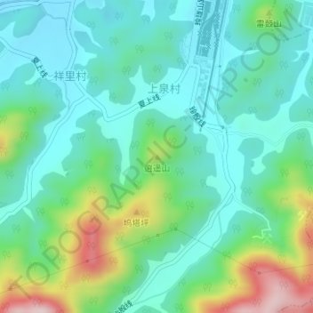
Name: 逍遥山 topographic map, elevation, terrain.
Location: 逍遥山, 杭州市, 浙江省, 中国 (30.17582 119.67957 30.17592 119.67967)
Average elevation: 459 ft
Minimum elevation: 180 ft
Maximum elevation: 1,257 ft
Other topographic maps
Click on a map to view its topography, its elevation and its terrain.