
清凉峰 topographic map
Interactive map
Click on the map to display elevation.
About this map
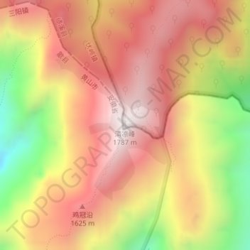
Name: 清凉峰 topographic map, elevation, terrain.
Location: 清凉峰, 杭州市, 浙江省, 中国 (30.10126 118.86188 30.10136 118.86198)
Average elevation: 4,498 ft
Minimum elevation: 2,562 ft
Maximum elevation: 5,781 ft
Other topographic maps
Click on a map to view its topography, its elevation and its terrain.