
普拉底乡 topographic map
Interactive map
Click on the map to display elevation.
About this map
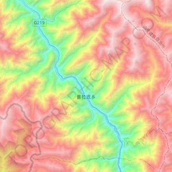
Name: 普拉底乡 topographic map, elevation, terrain.
Location: 普拉底乡, 贡山独龙族怒族自治县, 怒江傈僳族自治州, 云南省, 中国 (27.49457 98.66836 27.73353 98.91821)
Average elevation: 9,337 ft
Minimum elevation: 4,449 ft
Maximum elevation: 14,350 ft
Other topographic maps
Click on a map to view its topography, its elevation and its terrain.