
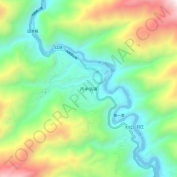
丙中洛镇 topographic map
Interactive map
Click on the map to display elevation.
About this map
Name: 丙中洛镇 topographic map, elevation, terrain.
Location: 丙中洛镇, 贡山独龙族怒族自治县, 怒江傈僳族自治州, 云南省, 中国 (27.97813 98.58145 28.05813 98.66145)
Average elevation: 7,382 ft
Minimum elevation: 4,961 ft
Maximum elevation: 12,428 ft
Other topographic maps
Click on a map to view its topography, its elevation and its terrain.