
Eidsvoll topographic map
Interactive map
Click on the map to display elevation.
About this map
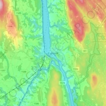
Name: Eidsvoll topographic map, elevation, terrain.
Location: Eidsvoll, Viken, 2080, Norvège (60.28859 11.22135 60.36859 11.30135)
Average elevation: 650 ft
Minimum elevation: 377 ft
Maximum elevation: 1,243 ft
Other topographic maps
Click on a map to view its topography, its elevation and its terrain.