
Utoeya topographic map
Interactive map
Click on the map to display elevation.
About this map
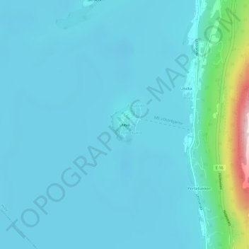
Name: Utoeya topographic map, elevation, terrain.
Location: Utoeya, Utøya, Hole, Viken, Norvège (60.02110 10.24482 60.02565 10.25171)
Average elevation: 292 ft
Minimum elevation: 177 ft
Maximum elevation: 1,293 ft
Other topographic maps
Click on a map to view its topography, its elevation and its terrain.