
Ås topographic map
Interactive map
Click on the map to display elevation.
About this map
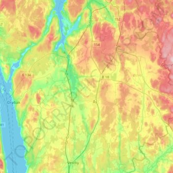
Name: Ås topographic map, elevation, terrain.
Location: Ås, Viken, Norvège (59.59228 10.67411 59.76599 10.89175)
Average elevation: 322 ft
Minimum elevation: 0 ft
Maximum elevation: 748 ft
Other topographic maps
Click on a map to view its topography, its elevation and its terrain.